Hi, I'm Valeria.
I graduated from the University of New Mexico with a B.S. in Geography in May 2025. I now work as a Professional/Technical Intern at the Southwest Environmental Finance Center, using GIS to map water and wastewater infrastructure — and outside of that, I hike, paint, and read. This site covers my research, work experience, and a few of the projects I'm proudest of.
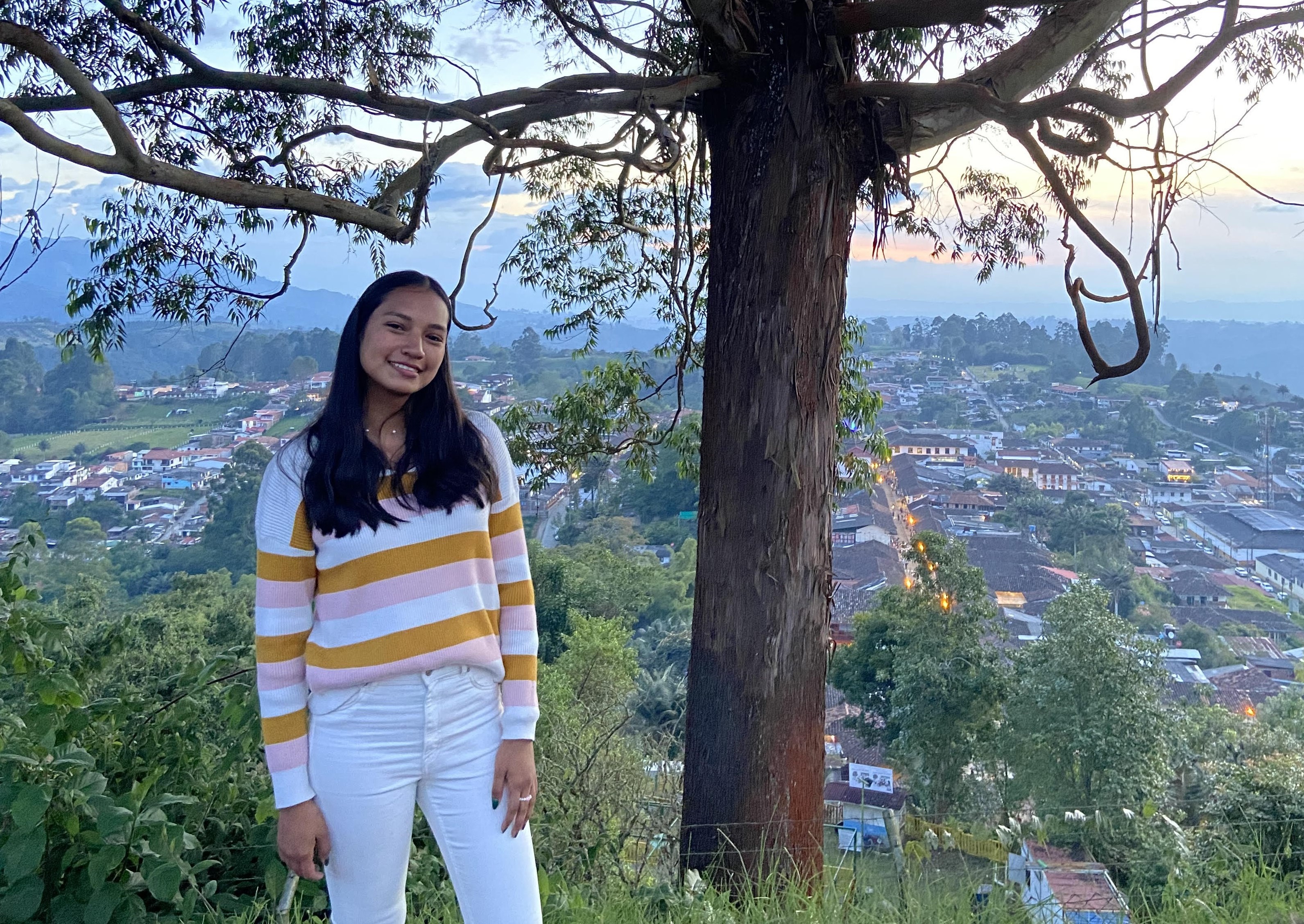
A quick tour of my background
Before geography was my major, it was just my life — here's some of the ground I've covered.
Cali, Colombia
Born and raised in Cali, where Spanish is my first language and my whole family is of Latin descent. Colombia is still home.
Colorado
Moved to the U.S. at 16 and completed high school and my first year of university in the Rockies.
Texas
One stop among several across the U.S. during five years of exploring new states and landscapes.
Puerto Rico
Home to some of the most breathtaking coastline I've seen — and a reminder of how much geography shapes daily life.
Albuquerque, New Mexico
Landed in "The Land of Enchantment" and am now finishing my degree in Geography at UNM.
What I'm working on
Amazon rainforest StoryMap
An ArcGIS StoryMap analyzing deforestation in the Amazon area of Colombia, built with Python and big earth observation data.
Water & wastewater mapping
Digitizing drinking water and wastewater systems across New Mexico with the Southwest Environmental Finance Center.
Lead Service Line Inventory
Using Landsat imagery to help assess lead exposure risk on the San Carlos Apache Reservation, Arizona.
Interested in working together?
I'm always glad to talk about research, fieldwork, or opportunities in geography and GIS.